

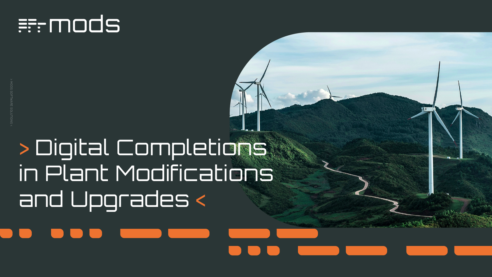
Digital Completions in Plant Modifications and Upgrades
Unlike greenfield or any new build construction projects, plant modifications and upgrades present a unique set of challenges. Work is carried out...

The Devil is in the detail is an age-old adage that is exactly the reason why Visual Project Management is being adopted across the Energy Sector. Whether it is in the form of photogrammetry, 360-degree images or laser scans used to illustrate facilities and their intricate systems, the ability to see a detailed image, in color, demystifies any issue with a written description that might result in it being not fully comprehended.
Capturing a photographic image or laser scan of the system or piece of machinery, is not a new idea in industrial settings. However, the ability to utilize that image, add color and detail, attach other documents, and automatically update master databases is. Data is ‘King’, especially as the 4th Generation digital wave hits us all. It is now about maximizing the data that has been captured, exploiting its value, and linking that information to other systems; ultimately improving Operational Excellence.
Typically, what you might see in offshore locations, such as the North Sea, are Engineering projects that have been initiated to make some modifications. You might deploy a Survey team and scan an area of your asset. The next step would be to take this data back to your office base, conduct some designing and engineering, have the parts fabricated and installed and so on. What happens to that scan data is also characteristic of the majority of facilities; the data ‘goes on the shelf’ and is very rarely looked at again. This process is then repeated on another job, another area is scanned, perhaps even the same area, but the destination of the data is the same, the dusty doldrums of the hard-drive. Obviously, this is costly and inefficient behavior, and it is only until recent years that Digital Solutions have become available to exercise this data on a more regular basis.
To get the most use of data, is to host it in the Cloud rather than a localized hard drive or silo. This allows data potential to be exploited by a much wider audience such as different departments, EPCs and Stakeholders, all having access at any time. When data silos have the ability to interact with each other, information is enriched and allows decisions to be made in a smarter, more informed way. This can range from, should the project actually go ahead, project details, designing, engineering, scheduling – the list goes on. Once the project is complete, you have the ability to register any engineering changes that your asset has incurred, to later deploy a survey team and keep your data and asset information evergreen.
When it comes to laser scanning, MODS Software Solutions take a 360-degree approach. Matthew Bell is MODS UK Operations manager, he believes that a detailed, quality scan, mitigates any later misunderstanding:
“Our scanning workflow starts off at the planning stage and looks at what the problem is. You might find that other companies who go onsite scan everything at the same height, over large areas with little control over what they’re actually scanning. We have found that by doing this, you end up with blind spots, where the important details just aren’t captured. The majority of staff here at MODS have worked in the Energy sector and know that these scans need to be as valuable as getting your actual ‘hands on’ the item. We know that scans must be taken from all angles, above and below the asset, by doing this you get better coverage of an object which is especially important for reverse engineering replacements”.
Matthew goes on to explain that the key part of the Survey is to set up a Control Network provide checkpoints throughout the scan, depending on the task at hand:
“There are two ways of scanning; one is to use Dimensional Control and other is to use Point Cloud to Point Cloud scanning. This type of scanning is a lot quicker, but the accuracy is not as good especially for engineering projects. The Control Network will produce a deliverable that aligns to platform grid exactly, therefore avoiding issues such as routing pipe work over a distance”.
Once the Control Network is established, the scanning phase can begin with all data being pre-registered on site daily. This ensures the quality of the tasks that are being undertaken, confirms that all data is being registered properly, check for any missed areas or defective scans; this removes any ‘surprises’ when the Survey team return to the office.
Matthew underlines that preparation is everything:
“I think it's worth pointing out that the planning phase of any large asset is crucial. It’s about understanding the platform and the areas that require attention. You need to focus on the problem areas or historical patterns, where they need a high volume of scanning, looking at critical lines, and be mindful of the areas that don’t require so much attention, rather than scanning with the same intensity across the whole asset. To ensure that the money spent, is money well spent”.
When the data is processed, the Point Cloud, imagery and layout plans are collated and uploaded to MODS Reality, their bespoke visualization system. Matthew believes that scans in black and white do not deliver the desired results demanded by today’s discerning clients:
“All of our scan projects are executed in color, that gives a much more immersive and useful product for the end users. Color absolutely adds depth and detail to scan and helps those viewing, to better understand what their asset looks like. And then we move into Consumption, that’s where the different stakeholders can get access to that information”.
The main issue with Point Cloud to Point Cloud is over a large distance, working between modules will see issues and differences in elevations. This is due to this system registering the scan against another scan, which can result in a build-up of incremental errors over a large distance resulting in significant height differences. This scan is best utilized in a contained area where the accuracy is sufficient, such as maintenance change-outs.
As Matthew is keen to point out, detailed, appropriate scanning is just the first step on the road to Operational Excellence, maximizing the potential of the data gathered is the next:
“What we at MODS do is connect the isolated silos of data and information. We live in a world where quality information is in high demand. Organizations have made that data investment in the scans and want to allow as many of the decision makers and stakeholders access to that information. It might be used for designing or engineering, visual inspections, inductions for planning or SIMOPS – the possibilities are endless. Permitting more people and departments to utilize the data, the better value you get from making that investment in the first place”.
All sounds like a great plan but what are the practicalities of accessing this detailed data. Full scans are notoriously large to download, and the fear of crashing systems and time wasting is a reality. MODS are more than aware of this issue and offer a simple solution as Matthew explains:
“If you have a 360-degree picture you want to download, our MODS software allows the user to clip out the area that they want, download it onto whatever application they need to use it on, so it’s very efficient. It saves time and with remote working at the moment, you can lose control, and this avoids choking up computer resources”.
And with Data resources becoming the most valuable asset of all, MODS Software solutions are designed and dedicated to deliver a detailed and quality image of the future.
Get a 360-degree view of your asset and make data-based decisions. Speak with our  for more info.
Unlike greenfield or any new build construction projects, plant modifications and upgrades present a unique set of challenges. Work is carried out...
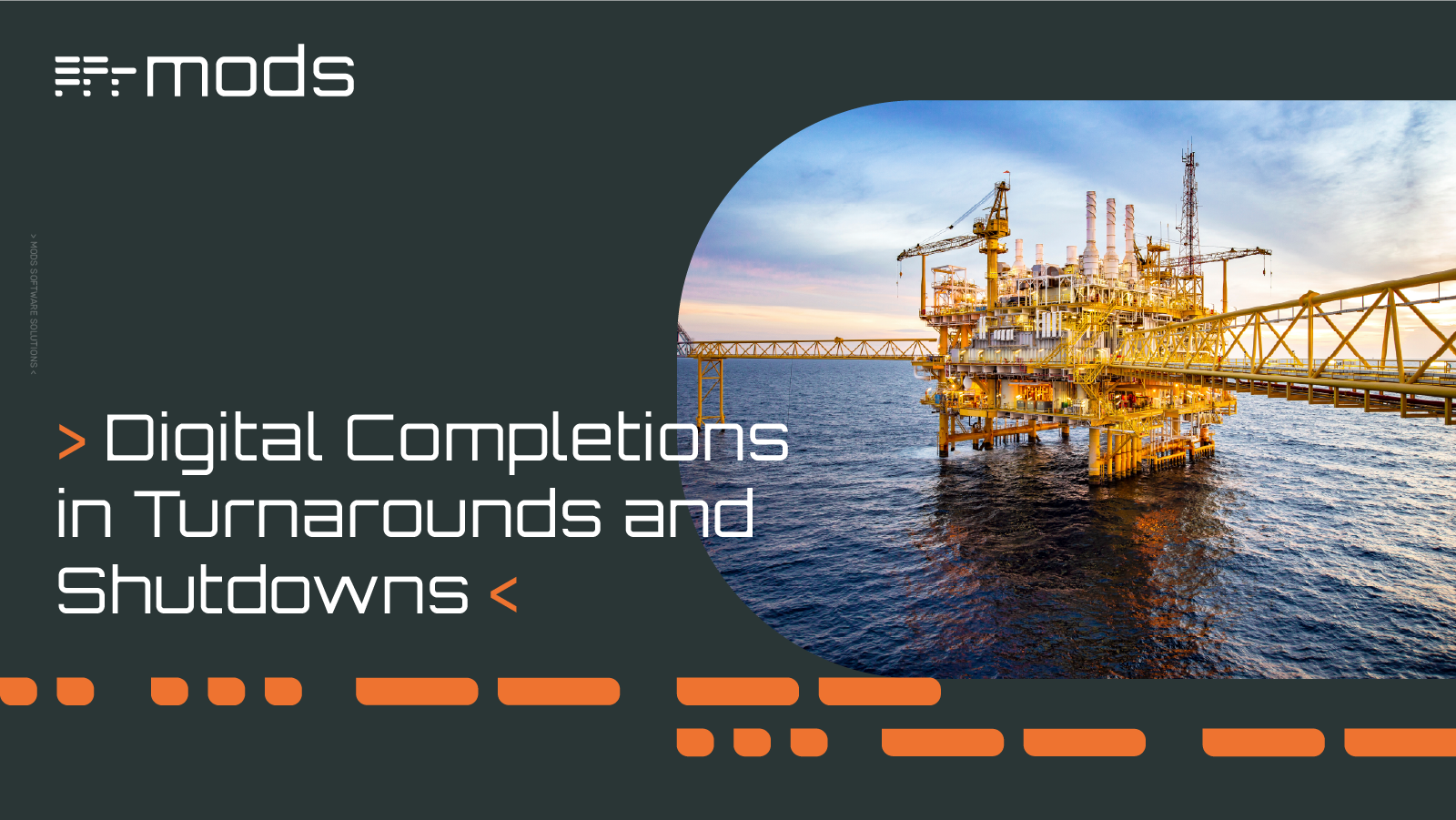
Turnarounds and shutdowns are among the most critical—and stressful—phases in the management and operation of industrial assets. These planned...
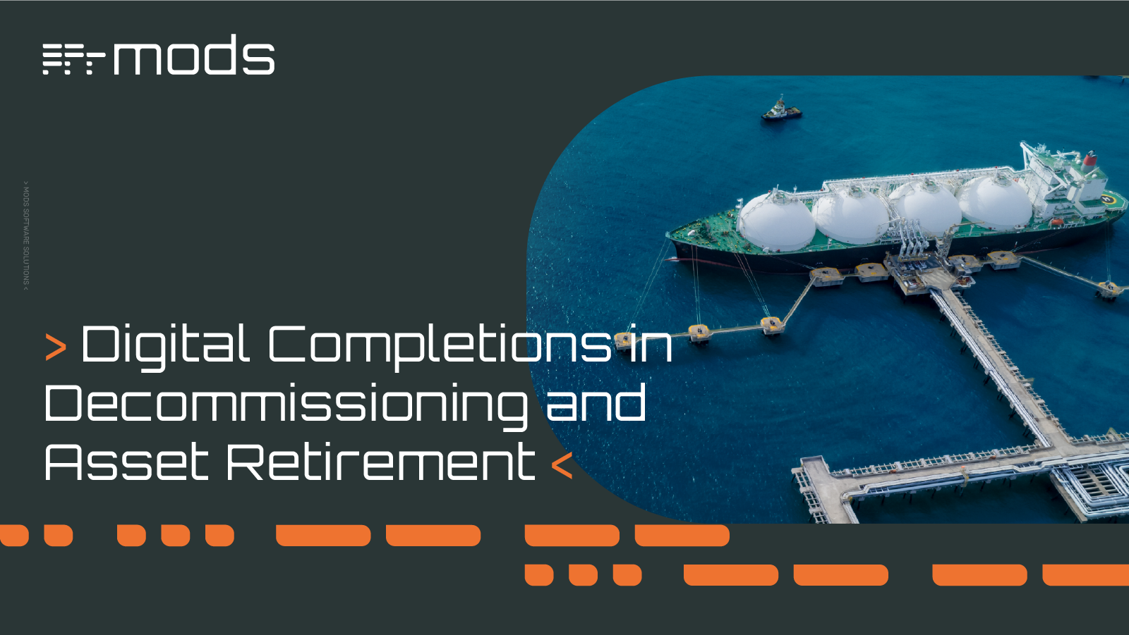
Offshore decommissioning and asset retirement present significant logistical, regulatory, safety, fiscal and reputational challenges. The process of...
With a myriad of options available in today’s marketplace, choosing the right Digital Transformation (DX) partner for your Energy Sector organization...

The Asset management software market is well-trodden terrain. Technology in this undulating landscape has had an incredible journey especially over...
Picture the scene. You are a Construction manager in the Energy Sector, and you desperately need more resources to complete your project. The first...